LOCAL SHERPA

Sherpa Login

Explore Treks

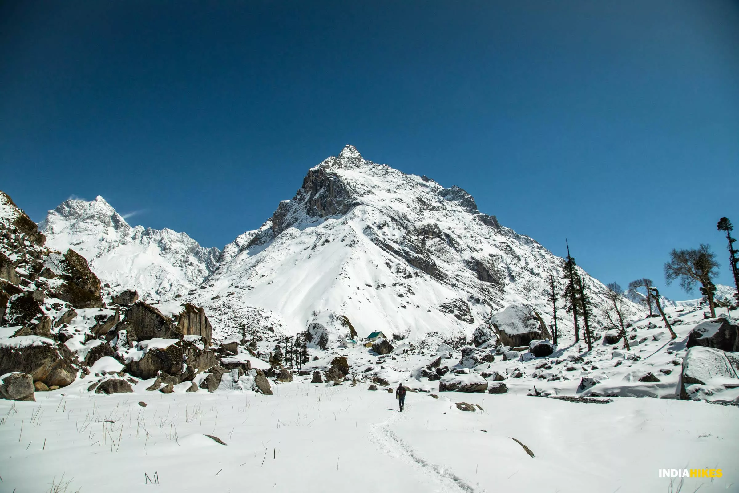
A local Sherpa guide navigates the narrow path through a snow-covered mountain landscape in the Himalayas, under a clear blue sky, with rocky terrain and sparse trees.

Har Ki Dun

Difficulty
Moderate
Total Distance
72 kms
Duration
7 days
Highest Altitude
11,600 ft
Region
India, UK
Accommodation
Camping
AprilDecemberMarchMayNovemberOctober

Trek Overview:

The first half of the journey gradually ascends through Dehradun (and later Mussoorie) with boarding schools and farms on either side of the road. Later, the scenery is replaced by chandelier-like pines covering large expanses of sloping mountains.

Quick Itinerary:

(Pick-up Day): Drive from Dehradun to Kotgaon
The first half of the journey gradually ascends through Dehradun (and later Mussoorie) with boarding schools and farms on either side of the road. Later, the scenery is replaced by chandelier-like pines covering large expanses of sloping mountains.
Drive from Kotgaon to Dhatmeer. Trek from Dhatmeer to Gangaad
Your journey begins with a drive to Dhatmeer. It is a small village, roughly 20 km away from Kotgaon. The road to Dhatmeer passes through some beautiful mountain bends, with views of Mount Swargarohini and Mount Rangalana. You will also see sights of many hanging Himalayan villages on the mountain edges.
Trek from Gangaad to Kalkatiyadhar
There are stretches where the trail is overlaid with sizable rocks—it’s easy to sprain your ankle in these sections. In these sections, the trick is to move ahead by using the edge of rocks as a foothold—the edge is the line that juts out at the top. This provides a good grip for your shoe to move forward from without angling the ankle at all. During descents, make sure you land softly on each foot since the impact of walking on such a terrain for hours on end is bound to make your knees hurt—so try lowering the impact as much as possible. Further, walk in a meandering or zigzag fashion to alternate the pressure on each knee—this helps a lot! Moreover, wearing kneecaps may prove to be very useful since it partially absorbs the impact.
Trek from Kalkatiyadhar to Boslo via Har Ki Dun
The itinerary for the day involves trekking from Kalkatiyadhar to Har ki Dun via Boslo. The road to Boslo begins with a gentle ascent of 40–45 minutes, after which follows a flat trail. Notice the Bhojpatra trees on either side of the trail, the trunks of which will seem misshapen compared to the tall, vertical pines. The peeling nature of the trunk adds to its gnarly composition. They only grow above a certain elevation, i.e., above 10,000 ft.
1
2
3
4
5
Day
Day
Day
Day
Day

Slide right

Local Sherpas you can connect to:

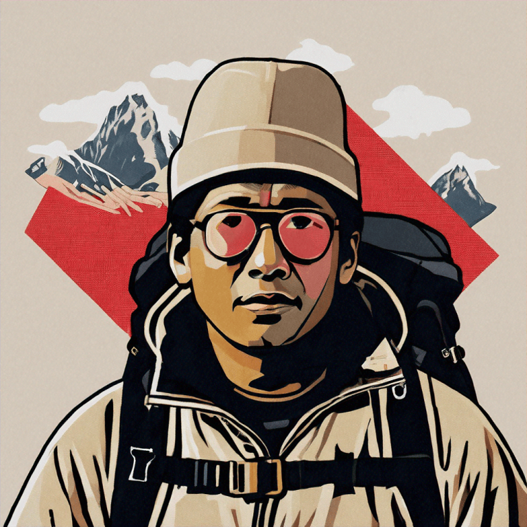
Illustration of a person, reminiscent of a local sherpa guide, wearing a beanie, glasses, and backpack. They stand against the majestic Himalayas backdrop with clouds and a red geometric shape.

Nikhil Bhauwala

Kangri
21 yrs
2 yrs experience

Certifications:

Basic Mountaineering Course
Wilderness First Responder
Basic First Aid
Overall Rating

(2)

A person resembling a local sherpa guide is wearing a dark jacket and looking at the camera against a teal abstract background.

Bhanu Thakur

Dehradhun
40 yrs
5 yrs experience

Certifications:

Basic Mountaineering Course
Overall Rating

(0)